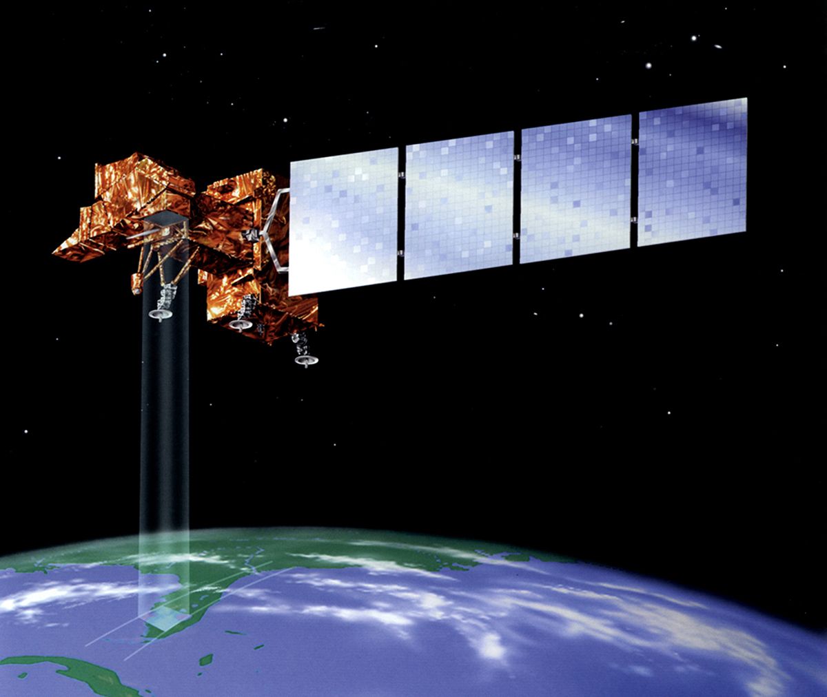
Landsat 7
Launch Date:
April 1999
WEBSITE:
Landsat 7 is a U.S. satellite used to acquire remotely sensed images of the Earth's land surface and surrounding coastal regions. This site features Landsat 7 data characteristics, science and education applications, technical documentation, program policy, and history. It is maintained by the Landsat 7 Project Science Office at the NASA's Goddard Space Flight Center in Greenbelt, MD. Images acquired by Landsat satellites were used to produce the first composite multi-spectral mosaic of the 48 contiguous United States. Landsat imagery has provided critically important information for monitoring agricultural productivity, water resources, urban growth, deforestation, and natural change due to fires and insect infestations. The data have also been used successfully for mineral exploration, to measure forest cover at the state level, and to monitor strip mining and strip mine reclamation.

