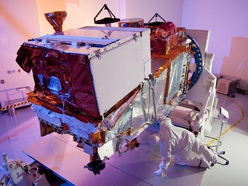
Visible Infrared Imaging Radiometer Suite (VIIRS)
Launch Date:
October 2011
WEBSITE:
The Visible Infrared Imaging Radiometer Suite (VIIRS) instrument collects visible and infrared imagery and global observations of land, atmosphere, cryosphere and oceans. Currently flying on the Suomi NPP and NOAA-20 satellite missions, VIIRS generates many critical environmental products about snow and ice cover, clouds, fog, aerosols, fire, smoke plumes, dust, vegetation health, phytoplankton abundance, and chlorophyll. VIIRS will also be on the JPSS-3 and JPSS-4 satellites.