Featured Videos
Data in Harmony: NASA's Harmonized Landsat and Sentinel-2 Project
NASA's Harmonized Landsat and Sentinel-2 (HLS) project is a groundbreaking initiative that combines data from Landsats 8 & 9 with the European Space Agency's Sentinel-2A & 2B satellites.
Landsat 2023 - A Year in Review
Let’s take a look at the Landsat program 2023. Plus, a sneak peek at what the future holds with Landsat Next.
ExtraDimensional - The Fusion of Landsat & GEDI Data
Here's a look into some of the ways Landsat and GEDI data are being harnessed to help us better understand the complex relationship between humanity and nature.
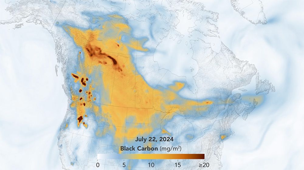
Wildfires 101: How NASA Studies Fires in a Changing World
From forest floor to space, NASA scientists and collaborators are advancing tools and methods to predict, remotely detect, and ultimately mitigate wildfires.


