
Did you always know that you wanted to be a hydrologist?
No, I did not always know that I wanted to be a hydrologist. Despite growing up with family members in water-related professions who shared inspiring work stories, I initially chose a different path and began my undergraduate studies in Information Technology. However, after the first year and with encouragement from my family, I ultimately switched to a water-related major. My love for working with data was perhaps always a sign that hydrology was the right fit for me. My interest in mathematics and statistics, developed through advanced math classes in high school, naturally aligned with the field’s analytical requirements. I always enjoyed analyzing data and discovering patterns—skills that are central to my work today. My career choice has also satisfied my desire for global travel, allowing me to study and work across multiple countries (see below photo for incredible memories from one of my birthday parties). Most importantly, the persistence to stick with a career in hydrology came through mentorship. While working in Vietnam, Dr. Tong Ngoc Thanh recognized my potential and appointed me as Principal Investigator on a project despite my junior position; this was unusual as senior staff/officers are typically preferred. Later, Professor Venkat Lakshmi encouraged me to join his research team to pursue my Ph.D. at the University of Virginia. Dr. John Bolten offered me a great opportunity at the Hydrological Sciences Lab, and Dr. George Huffman provided invaluable mentorship and guidance at NASA Goddard. While it wasn't my original plan, my hydrology career was shaped by four factors: family influence, mathematical interest, travel opportunities, and great mentors who helped me find my place in this profession.

What science questions do you investigate?
Under NASA's Earth Science to Action Framework, I investigate how satellite-based soil moisture data can provide practical solutions for society. My primary research focuses on developing a Dynamic Agricultural Productivity Indicator (DAPI) concept that uses satellite-based soil moisture to predict vegetation health and crop yields, directly benefiting agricultural monitoring and food security. Currently, I address another question: How can we effectively integrate multiple data sources—in situ networks, satellite observations, and land surface models—to improve soil moisture characterization? To this end, my research develops frameworks to better monitor and predict soil moisture patterns across large-scale environments for improved water resource management and decision-making.
Tell us about one project that has been particularly impactful in your field.
One particularly impactful project of mine has been the development of the DAPI concept. During my advisor's postdoctoral research in the mid 2000s, he highlighted the value of soil moisture as an early indicator to predict changes in vegetation health (see below figure). He continued this work for many years, and when I was hired to work with him, I joined this project. My first task was to convert this relationship into a feasible vegetation health forecasting tool. We achieved some initial success as we demonstrated that soil moisture improves vegetation health forecasting for several crop regions in the Contiguous United States, and in 2024 our team published one of the first manuscripts on this novel concept. Our team is continuing to pursue this work with the Famine Early Warning Systems Network (FEWS NET) team to determine if vegetation health forecasting is feasible in the African continent. If this work proves viable, it could significantly contribute to humanitarian aid in food-insecure regions.

What is an interesting problem or hurdle that you've overcome in your work?
One significant challenge I faced was developing a new data reader to assimilate a soil moisture dataset into the Land Information System (LIS) land surface model. Land surface models are numerical simulations that estimate water-related variables like soil moisture at different depths, and data assimilation is a procedure that involves ingesting observational data into these models to improve their accuracy. We obtained high-quality ground observations from the Upper Missouri River basin to correct NASA's Soil Moisture Active Passive (SMAP) satellite data, and I needed to create a new data reader to input this corrected satellite data into our models to improve their prediction of soil moisture. I overcame this challenge through several key actions. First, my team advisor's trust and confidence in my abilities significantly boosted my productivity and motivation. Second, I received helpful support from the LIS development team members who guided me through initial model setup and provided helpful tips to interpret model errors. Third, I learned that model refinement is essential. I rarely get things right on the first attempt, so I have developed a practice of stepping back, revising the entire workflow, and continuously improving the model. This recursive process has been time-intensive, but through persistence, my model development has increasingly met our project expectations.
What is one thing you wish everyone knew about your particular field of science?
I wish everyone understood that while we cannot guarantee sufficient water for crop growth every year, we can monitor and identify when and where unfavorable conditions could occur. Our role as hydrologists is to provide better estimates of current (and possibly future) water availability and trends that help farmers make informed decisions regarding planting, irrigation, and crop management.
If you were to expand your current research focus, what new topic(s) would you explore?
The research-to-operations transition has always fascinated me. When I worked as a hydrologist at Vietnam's National Center for Water Resources Planning and Investigation, we dealt with an international river basin where half of its water flows in from another country. Remote sensing seemed promising to provide an estimate of precipitation across this transboundary basin. I decided to investigate the applicability of remote sensing products. Through my Ph.D., I demonstrated the value of the Global Precipitation Mission (GPM) for streamflow simulation in Vietnam's river basins. Streamflow simulation predicts river water flows, helping decision-makers manage available water resources and provide information for natural hazard preparation such as floods or droughts. This experience further fuels my desire to make NASA remote sensing data and models more viable to support user-centric applications.
Also, I see the need for more collaboration between NASA and partners in underrepresented regions in global research. In the last few years, I initiated a collaboration between the NASA SMAP team and colleagues in Southeast Asia (Thailand and Vietnam) to develop in situ networks under dense forest canopy, an area where SMAP still needs more work to improve soil moisture estimate accuracy. To this end, I am always fascinated by these transitional challenges and would love to explore how we can better bridge the gap between the latest research and practical user-inspired operational applications.
What is a fun fact about you?
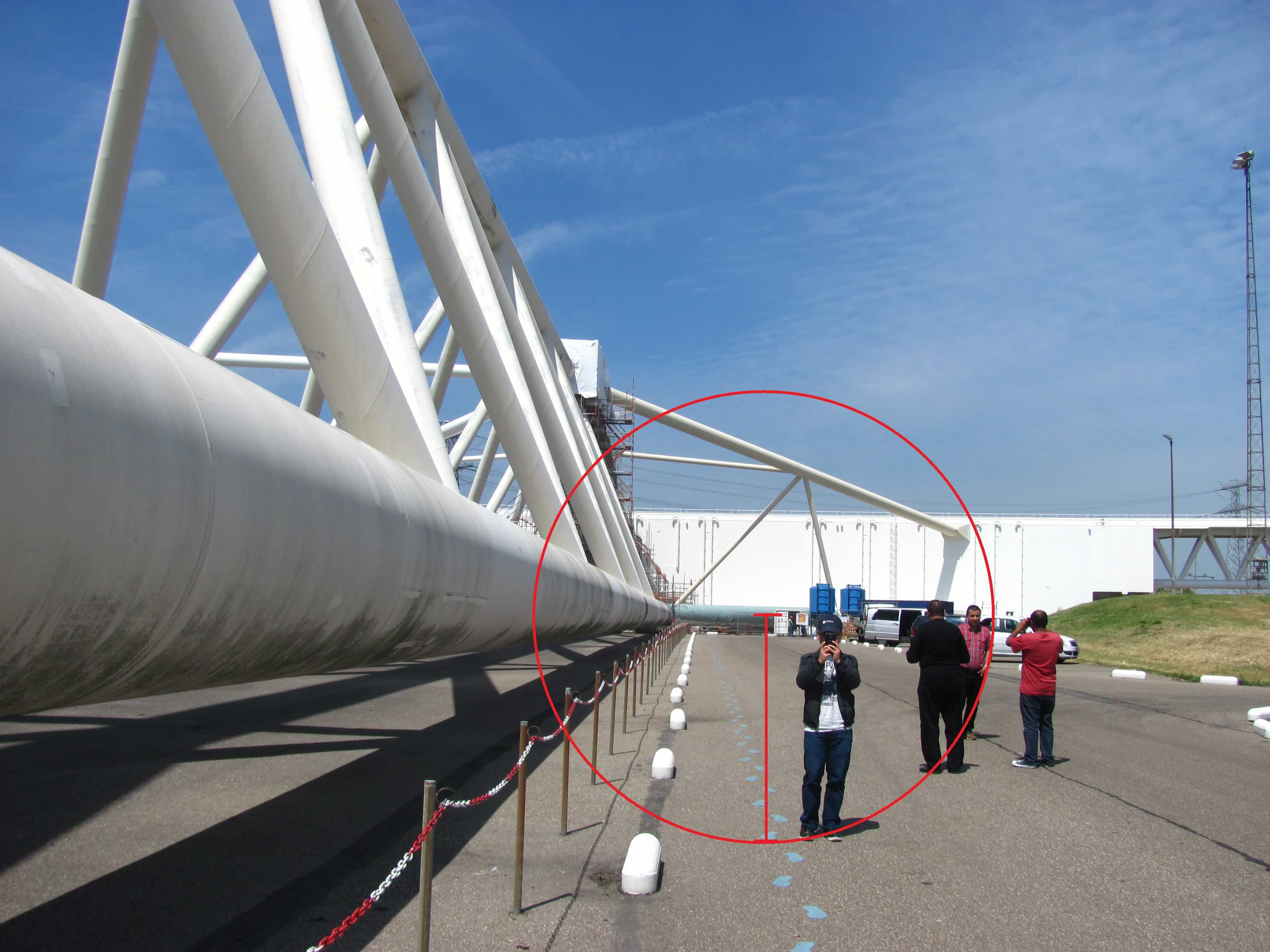
In 2015, my Master's program colleague, Fabio Sai (now a hydraulic engineer) wrote about our trip to see the Maeslantkering, a storm surge barrier in Rotterdam, Netherlands. He coincidentally took a picture of me (see above photo) and with his incredible creativity, he created the "HUNG" unit, estimating the barrier's height at about four times my height, and even jokingly applied it to measure areas, volumes, and weights. For more details on this fun story, check out Fabio's post on our Erasmus Mundus FRM 4.0 blog.
Published Date: .
Hometown:
Dien Bien, Vietnam
Undergraduate Degree:
BSc. in Hydrology and Water Resources Engineering, Hohai University, Nanjing, China
Post-graduate Degrees:
MSc. in Water Resources Engineering, IHE Delft Institute for Water Education, Delft, the NetherlandsPh.D. in Civil Engineering, University of Virginia, Charlottesville, VA