Missions & Projects
For further mission information, data, research, and other resources, see Hydrological Sciences Projects.
Featured
Alphabetical
By Last Name:
Displaying records 1 to 24 of 24.
Show:
Airborne Earth Science Microwave Imaging Radiometer (AESMIR)
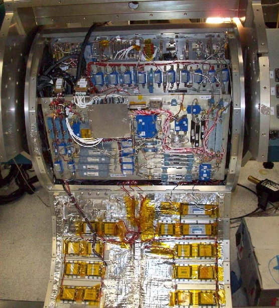
The Airborne Earth Science Microwave Imaging Radiometer (AESMIR) is a passive microwave airborne imager covering the 6-100 GHz bands that are essential for observing key Earth System elements such as precipitation, snow, soil moisture, ocean winds, sea ice, sea surface temperature, vegetation, etc.
Aqua
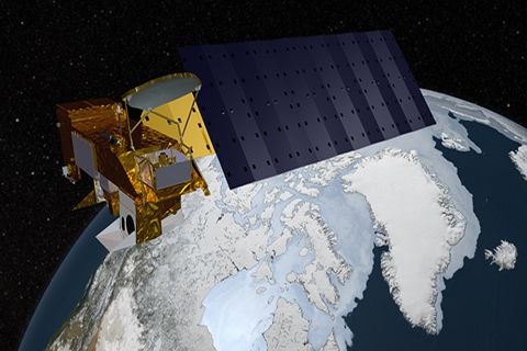
Aqua, Latin for water, is a NASA satellite mission designed to collect information about Earth's water cycle and other aspects of the Earth system. Aqua's six instruments collect a variety of global data on ocean evaporation, atmospheric water vapor, clouds, precipitation, soil moisture, sea ice, land ice, and snow cover on the land and ice. Additional variables that Aqua measures include radiative energy fluxes; aerosols; vegetation cover on the land; phytoplankton and dissolved organic matter in the oceans; and air, land, and water temperatures. Aqua was launched on May 4, 2002.
Key Staff
- Project Scientist: Lazaros Oreopoulos
- Deputy Project Scientist: Linette Boisvert
- Instrument Principal Investigator: Miguel Román
Combined Radar/Radiometer Instrument System (ComRAD)
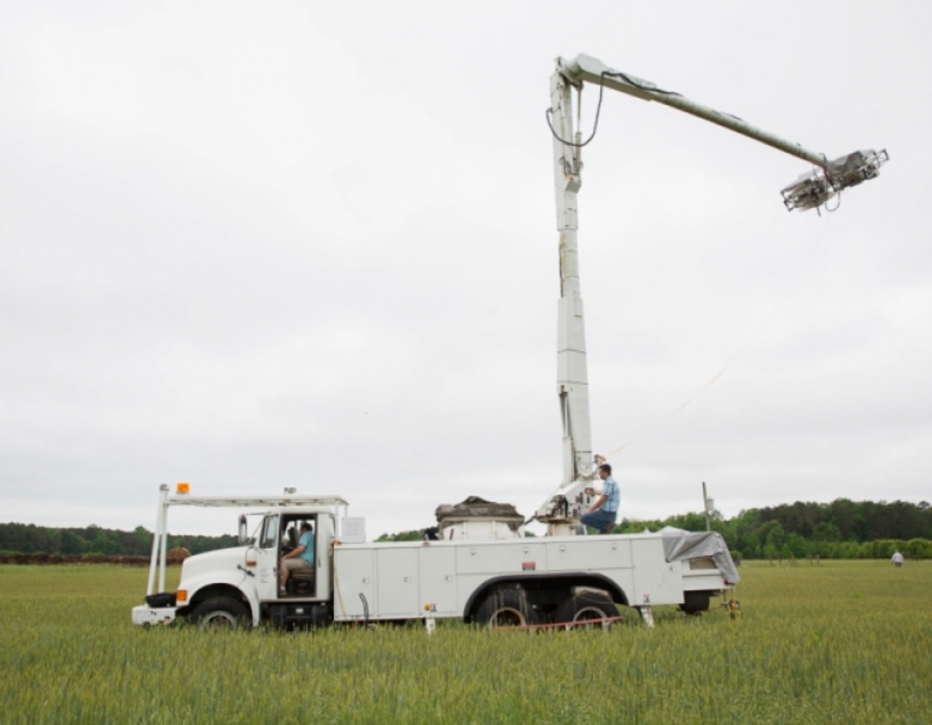
The Combined Radar/Radiometer (ComRAD) is a ground-based microwave instrument system mounted on a 19-m hydraulic boom truck. This instrument package is an outgrowth of a network analyzer-based L, C, and X band polarimetric radar system developed jointly by NASA/GSFC and George Washington University which has provided reliable calibrated radar data in soil moisture field campaigns across the United States since the early 1990s.
Earth Information System (EIS)
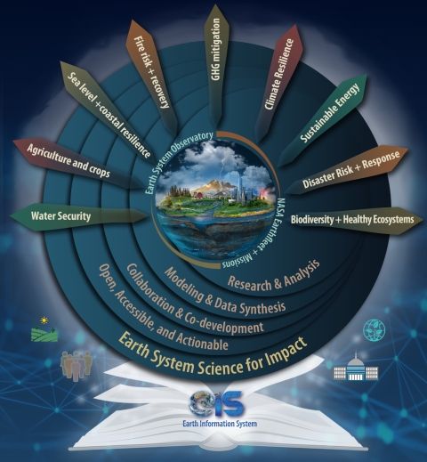
The Earth Information System (EIS) is a transdisciplinary, collaborative research and applications activity that combines NASA's satellite observations with modeling capabilities to produce new, integrated information enabled by emerging technology.
Key Staff
- Team Lead: Augusto Getirana
- Project Lead: Denis Felikson
- Science Team Member: Nishan Kumar Biswas
- Co Investigator: Sujay Kumar
Global Hydro-Information (GHI)
The USAF 557th Weather Wing’s operational Global Hydro Information (GHI) system serves as the U.S. Government’s authoritative source for global hydro-intelligence information. GHI is powered by NASA’s Land Information System (LIS). LIS is a flexible land surface modeling and data assimilation framework designed using advanced software engineering principles. Structured to enable community sharing and the reuse of modeling tools, data resources, and assimilation algorithms, the LIS infrastructure provides modeling tools to integrate satellite- and ground-based observational data products and advanced land surface modeling techniques to produce optimal fields of land surface states and fluxes.

Global Land Data Assimilation System (GLDAS)
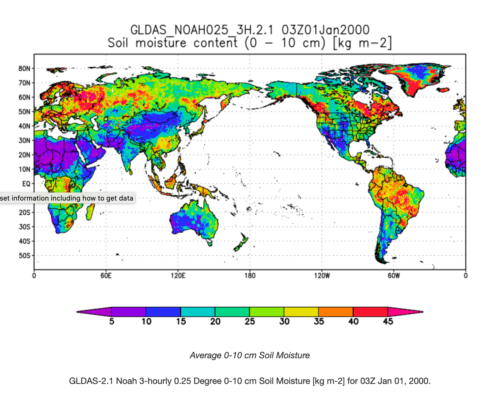
The goal of the Global Land Data Assimilation System (GLDAS) is to ingest satellite- and ground-based observational data products, using advanced land surface modeling and data assimilation techniques, in order to generate optimal fields of land surface states and fluxes (Rodell et al., 2004a).
Key Staff
- Science Collaborator: Augusto Getirana
- Principal Investigator: Matthew Rodell
- Co Investigator: Sujay Kumar
Global Precipitation Measurement (GPM)
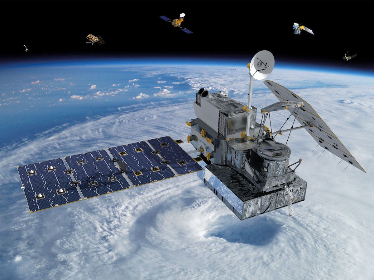
The GPM mission is one of the next generation of satellite-based Earth science missions that study global precipitation (rain, snow, ice). GPM Constellation is a joint mission with the Japan Aerospace Exploration Agency (JAXA) and other international partners. Building upon the success of the Tropical Rainfall Measuring Mission (TRMM), it initiates the measurement of global precipitation, a key climate factor. Its science objectives are: to improve ongoing efforts to predict climate by providing near-global measurement of precipitation, its distribution, and physical processes; to improve the accuracy of weather and precipitation forecasts through more accurate measurement of rain rates and latent heating; and to provide more frequent and complete sampling of the Earth's precipitation. GPM was launched February 27, 2014.
Key Staff
- Formal Education Specialist: Dorian Janney
- RESEARCH SCIENTIST: Andrea Portier
- Project Scientist: George Huffman
- Deputy Project Scientist: Erich Stocker
- Deputy Project Scientist: David Wolff
Gravity Recovery and Climate Experiment Follow-On (GRACE-FO)
GRACE-FO continues the work of the GRACE mission, tracking mass change on the Earth, in the cryosphere, the oceans, with terrestrial water storage on land and in the solid Earth.
Key Staff
- Co Investigator: Richard Ray
- Co Investigator: Bryant Loomis
- Co Investigator: Jeanne Sauber
- Co Investigator: Scott Luthcke
ICESat 2: Ice, Cloud, and Land Elevation Satellite 2 (ICESat-2)
The Ice, Cloud, and Land Elevation Satellite-2, or ICESat-2, measures the height of a changing Earth, one laser pulse at a time, 10,000 laser pulses a second. Launched September 15, 2018, ICESat-2 carries a photon-counting laser altimeter that allows scientists to measure the elevation of ice sheets, glaciers, sea ice and more - all in unprecedented detail.
Key Staff
- Support Scientist: Stephen Holland
- Receiver Algorithms Lead: Jan Mcgarry
- Senior Support Scientist: Scott Luthcke
- Calibration Team Member: Philip Dabney
- Sr. Test Systems Engineer: Henock Legesse
- Programmer: Stephen Holland
- Project Scientist: Thomas Neumann
- Deputy Project Scientist: Nathan Kurtz
- Deputy Project Scientist: Denis Felikson
- Instrument Scientist: Anthony Martino

Land Data Assimilation Systems (LDAS)
The land-surface component of the hydrological cycle is fundamental to the overall functioning of the atmospheric and climate processes. The characterization of the spatial and temporal variability of water and energy cycles is critical to improve our understanding of the land-surface-atmosphere interaction and the impact of land-surface processes on climate extremes. Because the accurate knowledge of these processes and their variability is important for climate predictions, most Numerical Weather Prediction (NWP) centers have incorporated land-surface schemes in their models. However, errors in the NWP forcing accumulate in the surface and energy stores, leading to incorrect surface water and energy partitioning and related processes. A methodology under development here is to implement a Land Data Assimilation System (LDAS), which consists of land-surface models (uncoupled from an atmospheric model) forced with observations, and thus not affected by NWP forcing biases.

Land Information System (LIS)
The Land Information System (LIS) is a software framework that was developed with the objective of integrating satellite and ground-based observational data products and advanced modeling techniques to produce optimal fields of land surface states and fluxes. It is designed for high-performance terrestrial hydrology modeling and data assimilation.

Land surface Interactions with the Atmosphere over the Iberian Semi-arid Environment (LIAISE)
Goddard's Scanning L-band Active Passive (SLAP) airborne soil moisture sensor was deployed for participation in the LIASE field campaign. The science objective for LIAISE is to improve our understanding of the impact of anthropization on the water cycle in terms of land-atmosphere-hydrology interactions, and the limitations of models to represent all aspects of the terrestrial water cycle in a semi-arid environment on the Iberian peninsula.
Moderate Resolution Imaging Spectroradiometer (MODIS)
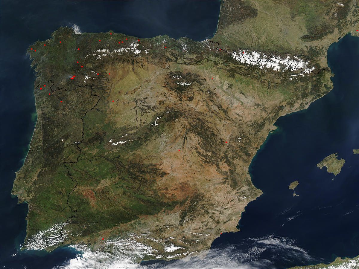
MODIS (or Moderate Resolution Imaging Spectroradiometer) is a key instrument aboard the Terra (originally known as EOS AM-1) and Aqua (originally known as EOS PM-1) satellites. Terra's orbit around the Earth is timed so that it passes from north to south across the equator in the morning, while Aqua passes south to north over the equator in the afternoon. Terra MODIS and Aqua MODIS are viewing the entire Earth's surface every 1 to 2 days, acquiring data in 36 spectral bands, or groups of wavelengths (see MODIS Technical Specifications). These data will improve our understanding of global dynamics and processes occurring on the land, in the oceans, and in the lower atmosphere. MODIS is playing a vital role in the development of validated, global, interactive Earth system models able to predict global change accurately enough to assist policy makers in making sound decisions concerning the protection of our environment.
NASA-Unified Weather Research and Forecasting (NU-WRF)
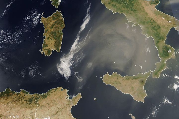
The NASA-Unified Weather Research and Forecasting (NU-WRF) model is an observation-driven regional earth system modeling and assimilation system at satellite-resolvable scale. NU-WRF is one of three major earth system modeling systems funded by NASA’s Modeling Analysis and Prediction (MAP) program.

North American Land Data Assimilation System (NLDAS)
The goal of the North American Land Data Assimilation System (NLDAS) is to construct quality-controlled, and spatially and temporally consistent, land-surface model (LSM) datasets from the best available observations and model output to support modeling activities.
Precipitation Measurement Missions (PMM)
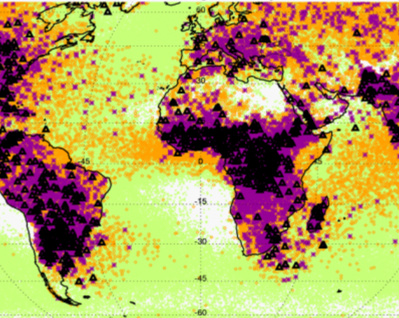
NASA’s Precipitation Measurement Missions – TRMM (1997–2015) and GPM Core Observatory (2014–present) – provide advanced information on rain and snow characteristics and detailed three-dimensional knowledge of precipitation structure within the atmosphere, which help scientists study and understand Earth's water cycle, weather and climate.
Precipitation Processing System (PPS)
The Precipitation Processing System (PPS) evolved from the Tropical Rainfall Measuring Mission (TRMM) Science Data and Information System (TSDIS). The purpose of the PPS is to process, analyze and archive data from the Global Precipitation Measurement (GPM) mission, partner satellites and the TRMM mission. All GPM, TRMM and Partner public data products are available to the science community and the general public.
Scanning L-band Active Passive (SLAP)
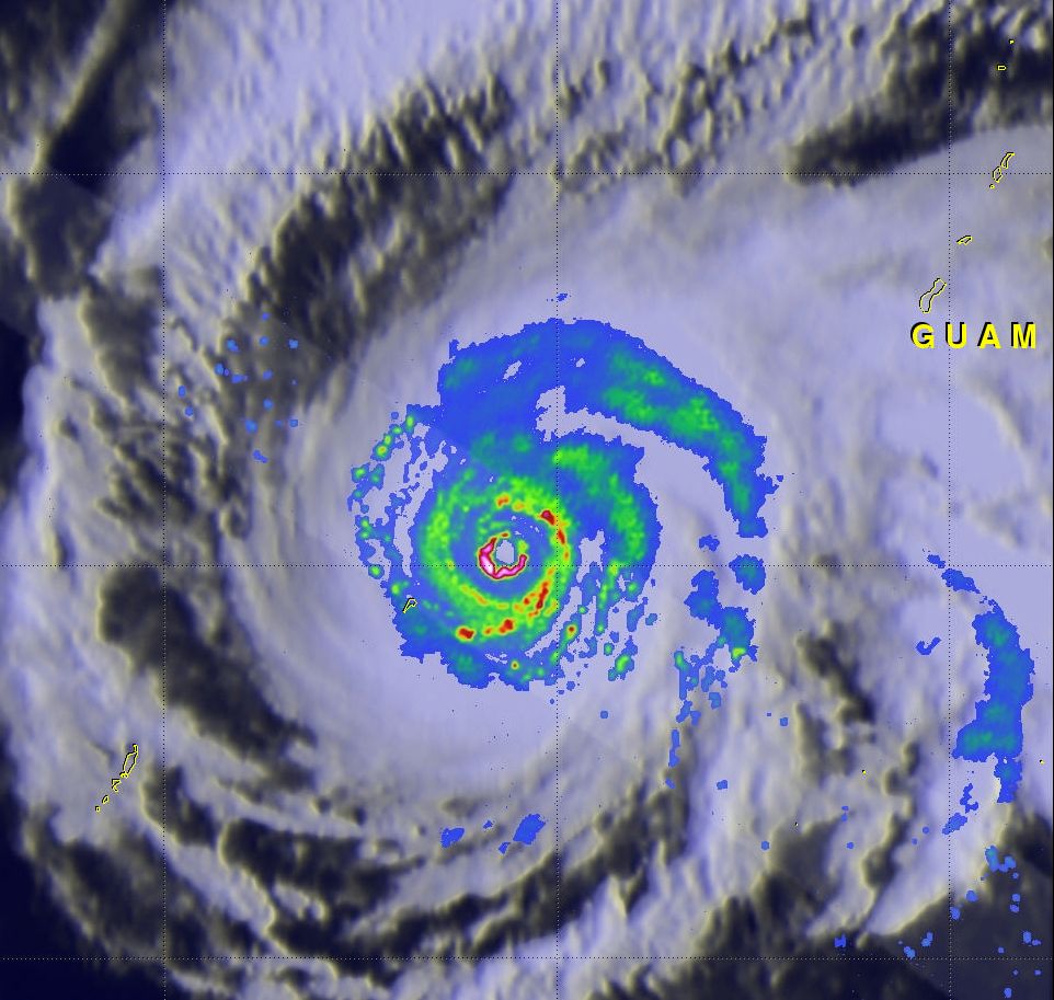
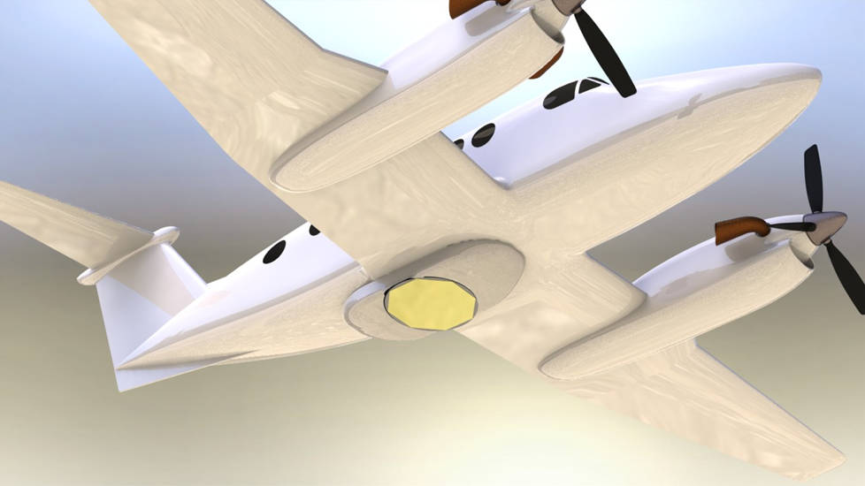
The Scanning L-band Active/Passive (SLAP) instrument is an airborne remote sensing instrument developed at NASA Goddard Space Flight Center for remote sensing of soil moisture, ocean salinity, freeze-thaw state, and other physical phenomena that display characteristics at microwave L-band.
SnowEx
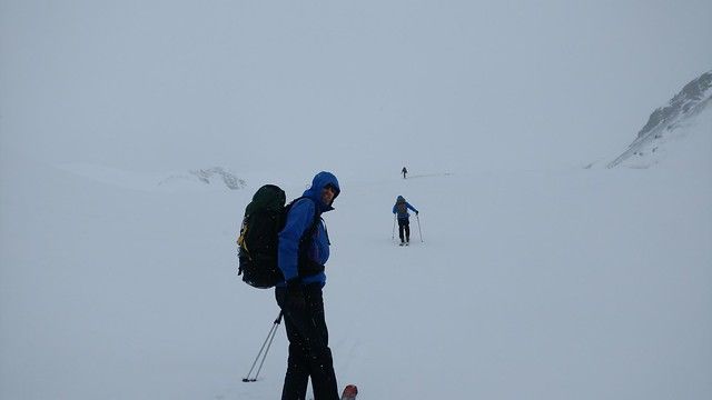
SnowEx is a five year program initiated and funded by NASA's Terrestrial Hydrology Program to address the most important gaps in snow remote sensing knowledge. It focuses on airborne campaigns and field work, and on comparing the various sensing technologies, from the mature to the more experimental, in globally-representative types of snow. The goal is to address the most important gaps in our snow remote sensing knowledge, and thus lay the groundwork for a future snow satellite mission.
Soil Moisture Active-Passive Mission (SMAP)
The Soil Moisture Active Passive (SMAP) mission is an orbiting observatory that measures the amount of water in the surface soil everywhere on Earth. It was launched in January 2015 and started operation in April 2015. The SMAP radiometer has been operating flawlessly. The radar instrument, ceasing operation in early 2015 due to failure of radar power supply, collected close to 3 months of science data. The prime mission phase of three years was completed in 2018, and since then SMAP has been in extended operation phase.
Key Staff
- Science Team Member: Rolf Reichle
- Calibration Team Member: Emmanuel Dinnat
- Science Team Member: Sujay Kumar
- Deputy Project Scientist: Rajat Bindlish
