Early Career Scientist Spotlight
Ms. Skye Caplan (she/her/hers)
Remote Sensing Scientist
Ocean Ecology Laboratory (616)
Did you always know that you wanted to study remote sensing?
Nope! I never thought I would end up in science – as a kid, I gravitated heavily away from anything related to math and into art and music. I was planning on going to college for some path in the traditional arts, but I moved to a school that didn’t have an arts program, so I had to pivot away from that. I took an astronomy class on a whim in my last year of high school and was fortunate enough to have a great teacher who encouraged me towards science. I followed that advice into my undergraduate, where I found an interest in geology and a fantastic thesis advisor in Dr. Kacey Lohmann. He taught me that the most important thing in searching for a career, especially a scientific one, is real interest. It turns out that you tend to rise to the challenge of hard calculations and lab work when you’re invested in the material you’re researching.
Through pushing past the reservations I had about mathematics, I found I enjoyed the space-sensor part of astronomy and the spectroscopy part of geology. I didn’t know how I was going to combine the two fields until I took a remote sensing course as a senior in college. I ended up really appreciating the amount of information you can tease out about Earth’s surface by seeing the planet from space, which led me to doing my master’s in remote sensing. And here I am now!
Credit: Skye Caplan
What science questions do you investigate?
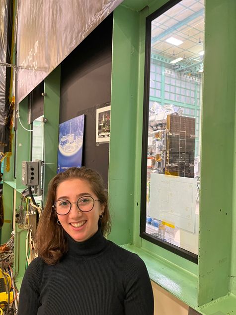
I work on the Plankton, Aerosol, Cloud, and ocean Ecosystem (PACE) mission as a terrestrial scientist, which basically means that I am responsible for applying PACE satellite data to land surface observation questions. It’s a pretty broad job description because a lot can happen on land! Currently, I’m investigating which algorithms would be useful for the terrestrial community if PACE were to produce them, given some of the sensors’ specifications.
My primary project is focused on implementing an atmospheric correction algorithm for one of PACE’s spectrometers. Atmospheric correction is necessary for terrestrial science because we’re interested in how the ground at the bottom of the atmosphere reflects light, but we’re viewing Earth from the top of the atmosphere. Because of that, things like absorbing gasses, aerosols, and of course clouds get in the way. My job is then to remove as much of the atmosphere as I can to get at what is really on the ground. From there, we can tell all sorts of things about the land surface, like how healthy vegetation is, what type of minerals are on the ground, and so on!
Since PACE was originally an ocean/atmosphere mission, this is one of the more interesting jobs I’ve had. Its spatial resolution (how much space on the ground one pixel of an image represents) is pretty coarse, which means it can be hard to look at specific phenomena at any one small location. But it is also a global hyperspectral mission, which means PACE can see the whole Earth in a rainbow of different colours. Finding the best way to apply all that data to the land surface’s intricacies has been a worthy challenge so far.
Credit: Heather Hanson
What research accomplishment are you most proud of?
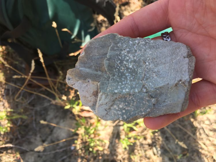
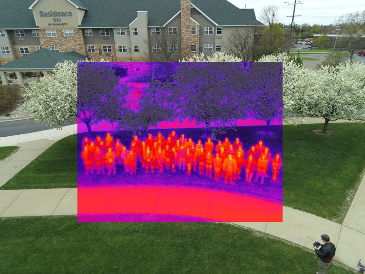
Though not directly related to the job I do now, I’m most proud of my work attempting to classify damage from the earthquake in Turkey and Syria in February of 2023. The goal of the project was to see if a combination of Synthetic Aperture Radar (SAR) and optical data could improve our ability to detect fallen buildings and general destruction in regions affected by the disaster. On a surficial level, it was interesting to see how different materials show up in different light regimes, and to see how certain measurements could assist or confuse the classification algorithms. Going deeper, even though the results weren’t quite what I expected, the project was a big source of motivation for me to continue a career in remote sensing. It was my first venture into an “applications” remote sensing project – in other words, a remote sensing project that could be applied to real world problems, for example to direct aid resources. It proved to me that this type of science could be worth something to the communities living underneath the satellites. You could say that this project is why I ended up at Goddard!
Credit: Shannon McCarley
What is one research project that you are particularly excited about, and why?
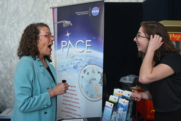
I’m really excited about the possibility of developing algorithms using data from the polarimeters onboard PACE. For one, polarized light and multi-angle measurements aren’t something I’ve had really any contact with. Learning how to apply that data to my work is basically becoming familiar with a whole new field, and learning new things is the best part about my job. For two, even only having a base knowledge about these instruments, I’m finding that they might be very useful for terrestrial science in ways that haven’t been investigated deeply yet.
Even more, the polarimeters onboard PACE have sparked more cross-discipline conversations than I’ve had throughout my academic career. I think there’s real potential in breaking down certain walls that have sprung up between different fields to get at answering new remote sensing questions (e.g., geological/land cover questions, etc.). The instruments were technically atmospheric science additions to the mission, but I really do think we’re at an exciting milestone in remote sensing where we don’t know what we don’t know.
Credit: Jessica Burnett
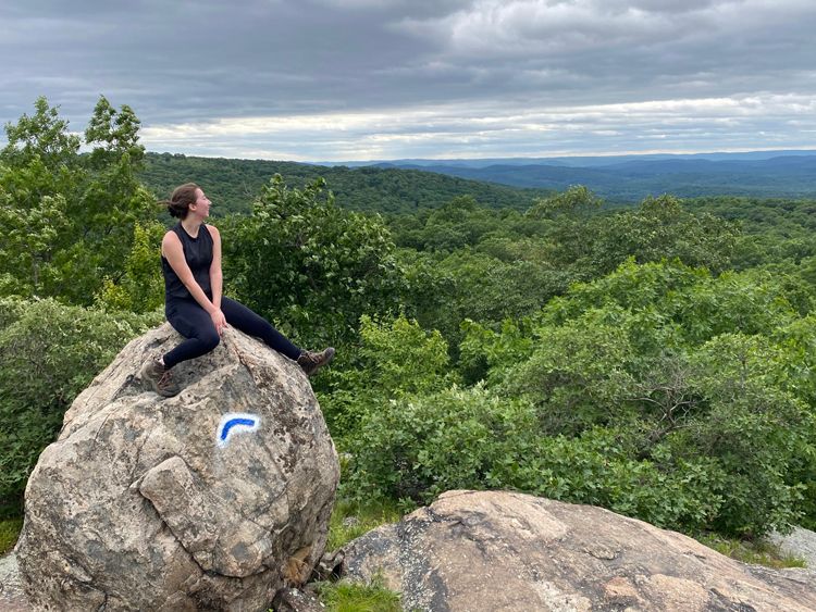
Tell us about a unique or interesting component of your work-life balance.
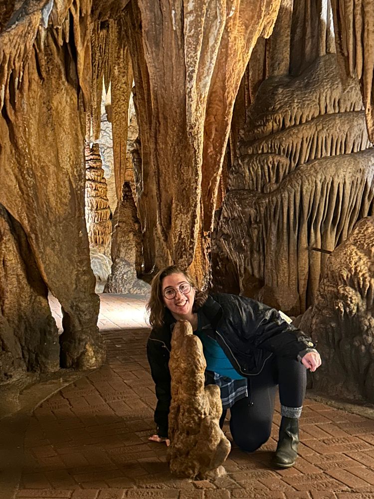
My office has no windows, so often when I get really stuck into an algorithm, I end up sitting at my desk for hours on end with no natural light. Early into starting my position, I realized I would have to force myself to take real physical breaks, where I get up from my office and take a walk around campus. I even try to go when it’s raining (and those are often my favourite days). I’ve seen a lot of the Goddard campus this way, including a nice little water feature near the back entrance that has a lot of ducks and wildlife! The breaks are a great way to get my brain back on track, and I find I can work better when I get back to my computer.
Credit: Alexis Megdanoff
What is an interesting problem or hurdle that you’ve overcome in your work?
Imposter syndrome is something I’ve struggled with throughout my time in industry, my academic career, and now as I’ve settled into my role here. Recently, though, I’ve learned that the best cure is to put myself out there in higher-level opportunities, or even leadership positions if they’re available, to prove that I can thrive in those situations. I find that when push comes to shove, you can surprise yourself in the amount of knowledge you have and the responsibility you’re able to take on. For a lot of folks, this kind of thing can be a bit of a forever-issue that evolves along with you; once you’re able to trust yourself a little bit and gain some perspective, the effect snowballs and those imposter feelings start to dissipate.
What is a fun fact about you?
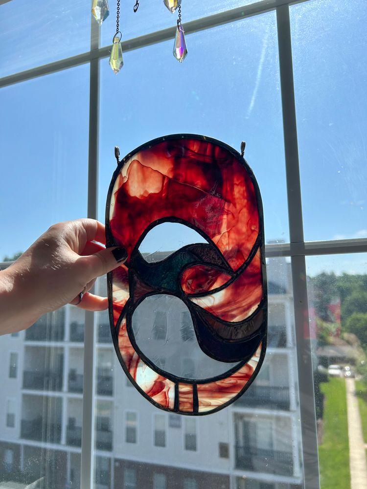
I’m a bit of a serial hobbyist! This is probably common in scientists, but my brain likes to be occupied. Since I’ve moved to Maryland, I’ve picked up a few new hobbies, which for the most part I’ve managed to stick to. The main ones have been guitar, running, and most recently stained glass, the latter being my favourite. So far, I’ve only made two pieces, but breaking glass and then making it back into something beautiful has maybe taught me a life lesson or two. Plus, I actually learned how to solder in a mineralogy lab in my undergrad, so taking a work skill and using it for fun has been really rewarding. My goal is to eventually make some windows for my own home, but right now I think I’ll stick to making suncatchers.
Credit: Skye Caplan
Biography
Home Town:
New York, NY/Montreal, QC
Undergraduate Degree:
BS Geology & Astronomy, University of Michigan, Ann Arbor, MI
Post-graduate Degrees:
M.Sc. in Remote Sensing & Geospatial Science, Boston University, Boston, MA