Missions & Projects
For further mission information, data, research, and other resources, see Atmospheric Chemistry and Dynamics Projects.
Featured
Alphabetical
By Last Name:
Displaying records 1 to 24 of 30.
Show:
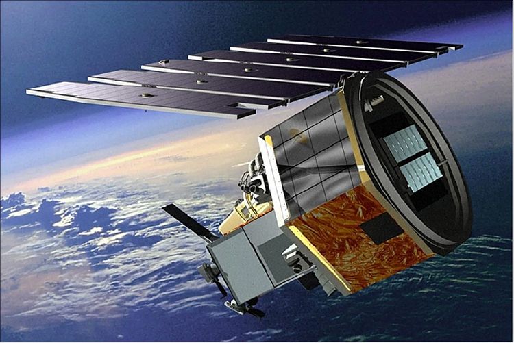
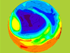
Aeronomy of Ice in the Mesosphere (AIM)
The AIM satellite mission is designed to explore Polar Mesospheric Clouds (PMCs), also called noctilucent clouds, to find out why they form and why they are changing.
Airborne and Satellite Investigation of Asian Air Quality (ASIA-AQ)
ASIA-AQ is an opportunity for international collaboration, working with local partners to apply multi-perspective observations in a consistent strategy across interested Asian countries to improve both specific understanding of local air quality issues and general understanding of common challenges in the interpretation of satellite observations and modeling of air quality.
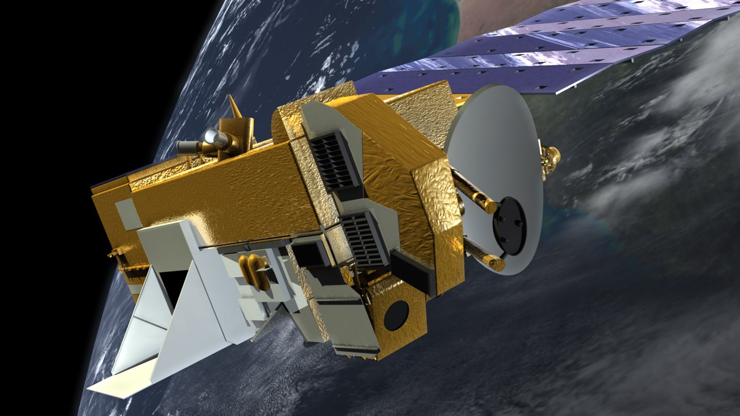
Aqua
Aqua, Latin for water, is a NASA satellite mission designed to collect information about Earth's water cycle and other aspects of the Earth system. Aqua's six instruments collect a variety of global data on ocean evaporation, atmospheric water vapor, clouds, precipitation, soil moisture, sea ice, land ice, and snow cover on the land and ice. Additional variables that Aqua measures include radiative energy fluxes; aerosols; vegetation cover on the land; phytoplankton and dissolved organic matter in the oceans; and air, land, and water temperatures. Aqua was launched on May 4, 2002.
Key Staff
- Project Scientist: Lazaros Oreopoulos
- Deputy Project Scientist: Linette Boisvert
Atmospheric Pressure Sounder
The long-term goal of this activity is to demonstrate the feasibility of a laser sounder instrument capable of measuring the surface-pressure field for the entire air column from satellite-to-ground with global coverage. The earth's surface pressure is a vital component of a variety of important scientific measurements, which are being undertaken at Goddard. Accurate knowledge of the surface pressure can enable calibration of 2-D measurements of CO2 content in the atmosphere and greatly improve the fidelity of surface water redistribution measurements from time-varying gravity fields. It is also important in weather prediction and atmospheric modeling.

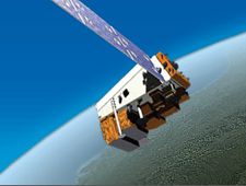
Aura
Aura (Latin for breeze) was launched July 15, 2004. Aura is part of the Earth Science Projects Division, a program dedicated to monitoring the complex interactions that affect the globe using NASA satellites and data systems. Aura's four instruments study the atmosphere's chemistry and dynamics. The satellite's measurements will enable scientists to investigate questions about ozone trends, air quality changes, and their linkage to climate change. Aura's measurements will provide accurate data for predictive models and provide useful information for local and national agency decision support systems.
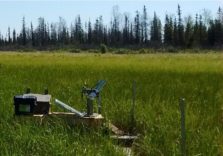
Blueflux
BlueFlux is supported by the NASA Carbon Monitoring System to measure fluxes of carbon dioxide and methane emissions over blue carbon ecosystems. The measurements are made using chambers, flux towers and aircraft flux instruments, including the CARbon Flux Experiment (CARAFE) payload. The data products will be used by local stakeholders to support mangrove and sawgrass restoration for carbon sequestration.
Key Staff
- Principal Investigator: BENJAMIN POULTER
- Co Investigator: Glenn Wolfe
- Co Investigator: Lola Fatoyinbo Agueh
Clouds and the Earth’s Radiant Energy System (CERES)
The Clouds and the Earth’s Radiant Energy System (CERES) project provides satellite-based observations of ERB and clouds. It uses measurements from CERES instruments flying on several satellites along with data from many other instruments to produce a comprehensive set of ERB data products for climate, weather and applied science research.
Dynamics and Chemistry of the Summer Stratosphere (DCOTSS)
Dynamics and Chemistry of the Summer Stratosphere (DCOTSS) is a NASA Earth Venture Suborbital research project to investigate the impacts of intense thunderstorms over the U.S. on the summertime stratosphere.
Global Modeling Initiative (GMI)
The Global Modeling Initiative (GMI) Chemical Transport Model (CTM) is part of the NASA Modeling Analysis and Prediction (MAP) program. The GMI CTM is used to assess the impacts of atmospheric circulation and composition change due to anthropogenic emissions, such as those from aircraft, biomass burning, fossil fuel combustion, and use of ozone depleting substances (ODS). GMI studies investigate changes in stratospheric ozone and the roles of long-range transport and changing emissions on air quality.
Goddard Chemistry-Climate Model (GEOSCCM)
The Goddard chemistry climate model, GEOSCCM, is based on the NASA/GMAO general circulation model integrated with various chemical packages.
Joint Polar Satellite System (JPSS)
The Joint Polar Satellite System (JPSS) is the Nation's new generation polar-orbiting operational environmental satellite system. JPSS is a collaborative program between the National Oceanic and Atmospheric Administration (NOAA) and its acquisition agent, National Aeronautics and Space Administration (NASA). This interagency effort is the latest generation of U.S. polar-orbiting, non-geosynchronous environmental satellites. (Source: NOAA)
Miniaturized Laser Heterodyne Radiometer (mini-LHR)
A portable ground instrument for measuring CO2 and CH4 in the Earth's atmospheric column.
Key Staff
- Principal Investigator: Emily Wilson
- Project Scientist: Graham Allan
- Project Scientist: Hilary Melroy
- Project Scientist: Lesley Ott
- Project Scientist: Gregory Clarke
- Project Scientist: Matthew Mclinden
Moderate Resolution Imaging Spectroradiometer (MODIS)
MODIS (or Moderate Resolution Imaging Spectroradiometer) is a key instrument aboard the Terra (originally known as EOS AM-1) and Aqua (originally known as EOS PM-1) satellites. Terra's orbit around the Earth is timed so that it passes from north to south across the equator in the morning, while Aqua passes south to north over the equator in the afternoon. Terra MODIS and Aqua MODIS are viewing the entire Earth's surface every 1 to 2 days, acquiring data in 36 spectral bands, or groups of wavelengths (see MODIS Technical Specifications). These data will improve our understanding of global dynamics and processes occurring on the land, in the oceans, and in the lower atmosphere. MODIS is playing a vital role in the development of validated, global, interactive Earth system models able to predict global change accurately enough to assist policy makers in making sound decisions concerning the protection of our environment.
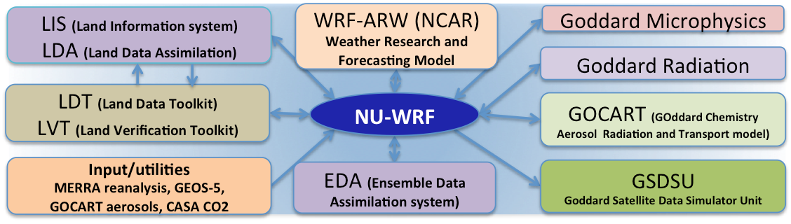
NASA-Unified Weather Research and Forecasting (NU-WRF)
The NASA-Unified Weather Research and Forecasting (NU-WRF) model is an observation-driven regional earth system modeling and assimilation system at satellite-resolvable scale. NU-WRF is one of three major earth system modeling systems funded by NASA’s Modeling Analysis and Prediction (MAP) program.
Network for the Detection of Atmospheric Composition Change (NDACC)
The international Network for the Detection of Atmospheric Composition Change (NDACC) is composed of more than 70 globally distributed, ground-based, remote-sensing with more than 160 currently active instruments.
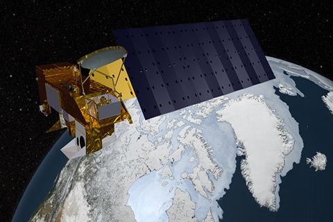
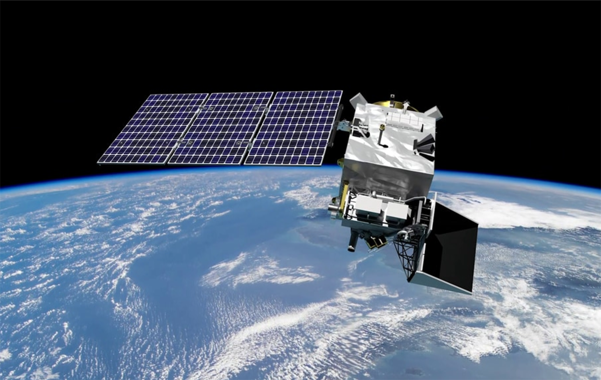
NOAA-21 (formerly Joint Polar Satellite System-2) (NOAA-21 (JPSS-2))
The Joint Polar Satellite System (JPSS) is the restructured civilian portion of the National Polar-orbiting Operational Environmental Satellite System (NPOESS) that will make afternoon observations as it orbits Earth. The system includes the satellites and sensors supporting civil weather and climate measurements and a shared ground infrastructure with the Department of Defense weather satellite system. JPSS-2 successfully lifted off from Vandenberg Space Force Base on Nov. 10, 2022, at 1:49 a.m. PST and was renamed NOAA-21.
Pandora Project
The Pandora Project addresses the needs of various different NASA Earth Ventures. Earth Venture Instruments (EVI) and Earth Venture Suborbitals (EVS) have made use of the Pandora instrument for the purposes of validation and verification. Missions and investigations uniquely aimed at exploring different components of the Earth system, ventures like DISCOVER-AQ have made use of the unique air quality measurement capabilities of Pandora.
Plankton, Aerosol, Cloud, ocean Ecosystem (PACE)
PACE is NASA's Plankton, Aerosol, Cloud, ocean Ecosystem mission. It launched on February 8, 2024, extending and improving NASA's over 20-year record of satellite observations of global ocean biology, aerosols (tiny particles suspended in the atmosphere), and clouds.
Key Staff
- Science Data Segment Manager: Bryan Franz
- Applications Coordinator: Erin Urquhart
- Polarimeter Lead: Kirk Knobelspiesse
- Science Data Segment Deputy Manager: Sean Bailey
- Project Scientist: Jeremy Werdell (he/him)
- Deputy Project Scientist: Antonio Mannino
- Deputy Project Scientist: Brian Cairns
- Instrument Scientist: Gerhard Meister
- Senior Scientist: Susanne Craig
Southern Hemisphere ADditional OZonesondes (SHADOZ)
SHADOZ is a NASA project to augment and archive balloon-borne ozonesonde launches and to archive data from tropical and remote operational sites. The project was initiated in 1998 by NASA's Goddard Space Flight Center, the NOAA/Global Monitoring Division, and international co-investigators. There are currently fourteen stations launching ozonesondes in the SHADOZ network. The collective data set provides the first climatology of tropical ozone in the equatorial region, enhances validation studies aimed at improving satellite remote sensing techniques for tropical ozone estimations, and serves as an educational tool to students, especially in participating countries.
Stratospheric Aerosol and Gas Experiment III - International Space Station (SAGE III - ISS)
The SAGE III instrument is used to study ozone, a gas found in the upper atmosphere that acts as Earth’s sunscreen. SAGE III - ISS will provide global, long-term measurements of key components of the Earth's atmosphere. The most important of these are the vertical distribution of aerosols and ozone from the upper troposphere through the stratosphere. In addition, SAGE III also provides unique measurements of temperature in the stratosphere and mesosphere and profiles of trace gases such as water vapor and nitrogen dioxide that play significant roles in atmospheric radiative and chemical processes.