Missions & Projects
Alphabetical
By Last Name:
Displaying records 1 to 4 of 4.
Show:
Goddard Institute for Space Studies (GISS) ModelE
The current incarnation of the GISS series of coupled atmosphere-ocean models is now available. Called ModelE, it provides the ability to simulate many different configurations of Earth System Models - including interactive atmospheric chemsitry, aerosols, carbon cycle and other tracers, as well as the standard atmosphere, ocean, sea ice and land surface components.
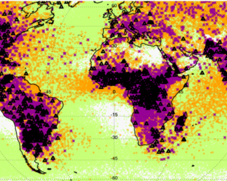
International Satellite Cloud Climatology Project (ISCCP)
ISCCP was established as part of the World Climate Research Programme to collect and analyze satellite radiance measurements to infer the global distribution of clouds, their properties, and their diurnal, seasonal, and interannual variations. The resulting datasets and analysis products are used to improve understanding and modeling of the role of clouds in climate, with the primary focus being the elucidation of the effects of clouds on the radiation balance. The Global Processing Center for ISCCP is located at the NASA Goddard Institute for Space Studies.
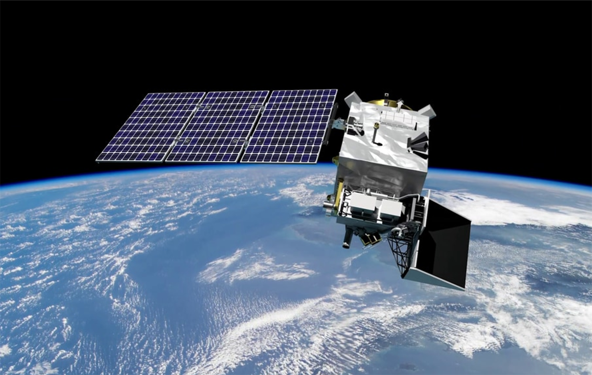
Plankton, Aerosol, Cloud, ocean Ecosystem (PACE)
PACE is NASA's Plankton, Aerosol, Cloud, ocean Ecosystem mission. It launched on February 8, 2024, extending and improving NASA's over 20-year record of satellite observations of global ocean biology, aerosols (tiny particles suspended in the atmosphere), and clouds.
Key Staff
- Polarimeter Lead: Kirk Knobelspiesse
- Science Data Segment Manager: Bryan Franz
- Applications Coordinator: Erin Urquhart
- Science Data Segment Deputy Manager: Sean Bailey
- Project Scientist: Jeremy Werdell (he/him)
- Deputy Project Scientist: Brian Cairns
- Deputy Project Scientist: Antonio Mannino
- Instrument Scientist: Gerhard Meister
- Senior Scientist: Susanne Craig
Precipitation Measurement Missions (PMM)
NASA’s Precipitation Measurement Missions – TRMM (1997–2015) and GPM Core Observatory (2014–present) – provide advanced information on rain and snow characteristics and detailed three-dimensional knowledge of precipitation structure within the atmosphere, which help scientists study and understand Earth's water cycle, weather and climate.