Missions & Projects
Featured
Alphabetical
By Last Name:
Displaying records 1 to 24 of 25.
Show:
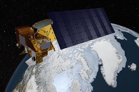
Aqua
Aqua, Latin for water, is a NASA satellite mission designed to collect information about Earth's water cycle and other aspects of the Earth system. Aqua's six instruments collect a variety of global data on ocean evaporation, atmospheric water vapor, clouds, precipitation, soil moisture, sea ice, land ice, and snow cover on the land and ice. Additional variables that Aqua measures include radiative energy fluxes; aerosols; vegetation cover on the land; phytoplankton and dissolved organic matter in the oceans; and air, land, and water temperatures. Aqua was launched on May 4, 2002.
Key Staff
- Project Scientist: Lazaros Oreopoulos
- Deputy Project Scientist: Linette Boisvert
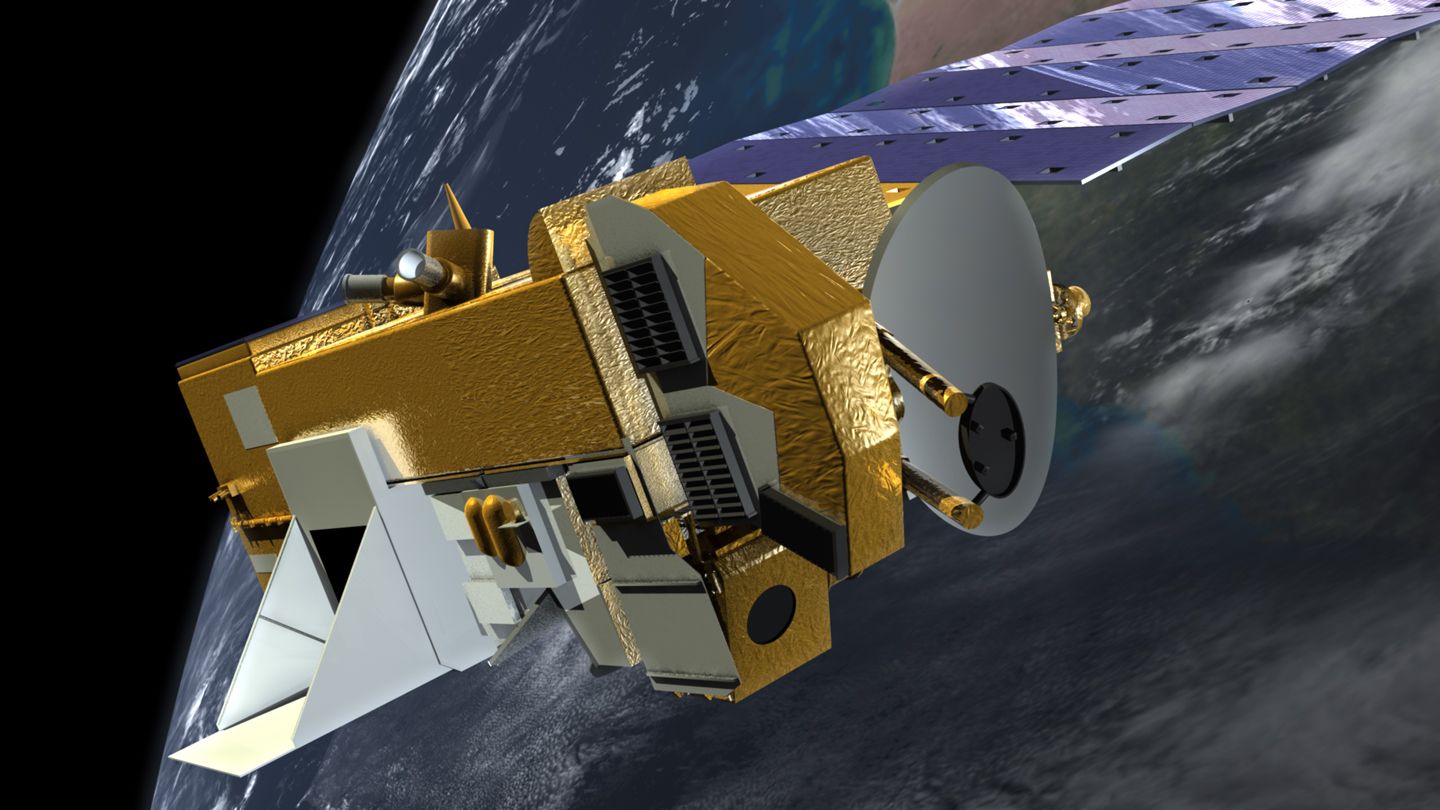
Aura
Aura (Latin for breeze) was launched July 15, 2004. Aura is part of the Earth Science Projects Division, a program dedicated to monitoring the complex interactions that affect the globe using NASA satellites and data systems. Aura's four instruments study the atmosphere's chemistry and dynamics. The satellite's measurements will enable scientists to investigate questions about ozone trends, air quality changes, and their linkage to climate change. Aura's measurements will provide accurate data for predictive models and provide useful information for local and national agency decision support systems.
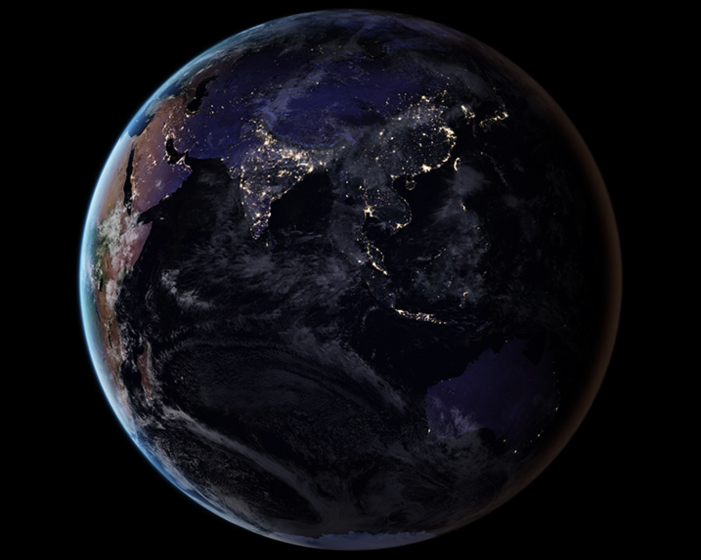
Black Marble
At night, satellite images of Earth capture a uniquely human signal--artificial lighting. Remotely-sensed lights at night provide a new data source for improving our understanding of interactions between human systems and the environment. NASA has developed the Black Marble, a daily calibrated, corrected, and validated product suite, so nightlight data can be used effectively for scientific observations. Black Marble is playing a vital role in research on light pollution, illegal fishing, fires, disaster impacts and recovery, and human settlements and associated energy infrastructures.
Direct Readout Laboratory
The Direct Readout Laboratory disseminates technology and information to acquire and utilize Direct Broadcast satellite data.

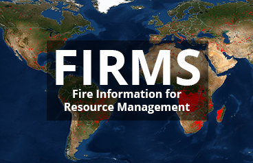
Fire Information for Resource Management System (FIRMS)
NASA FIRMS uses satellite observations from the MODIS and VIIRS instruments to detect active fires and thermal anomalies and deliver this information in near real-time to decision makers through email alerts, analysis ready data, online maps and web services.
FIRMS was originally developed by the University of Maryland, with funds from NASA’s Applied Sciences Program and the United Nations Food and Agriculture Organization (UN FAO). It was transitioned to NASA LANCE in 2012.
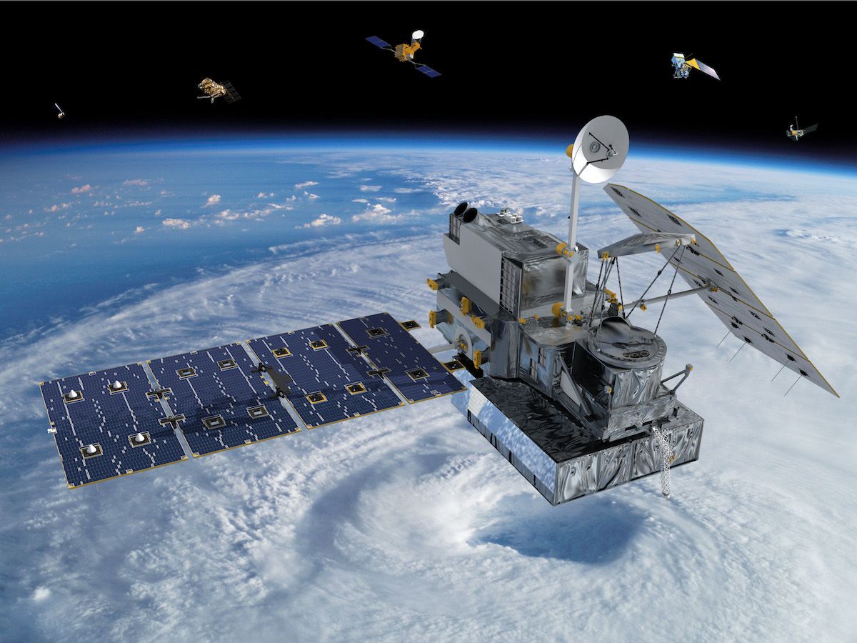
Global Precipitation Measurement (GPM)
The GPM mission is one of the next generation of satellite-based Earth science missions that study global precipitation (rain, snow, ice). GPM Constellation is a joint mission with the Japan Aerospace Exploration Agency (JAXA) and other international partners. Building upon the success of the Tropical Rainfall Measuring Mission (TRMM), it initiates the measurement of global precipitation, a key climate factor. Its science objectives are: to improve ongoing efforts to predict climate by providing near-global measurement of precipitation, its distribution, and physical processes; to improve the accuracy of weather and precipitation forecasts through more accurate measurement of rain rates and latent heating; and to provide more frequent and complete sampling of the Earth's precipitation. GPM was launched February 27, 2014.
Key Staff
- Formal Education Specialist: Dorian Janney
- RESEARCH SCIENTIST: Andrea Portier
- Project Scientist: George Huffman
- Deputy Project Scientist: Erich Stocker
- Deputy Project Scientist: David Wolff
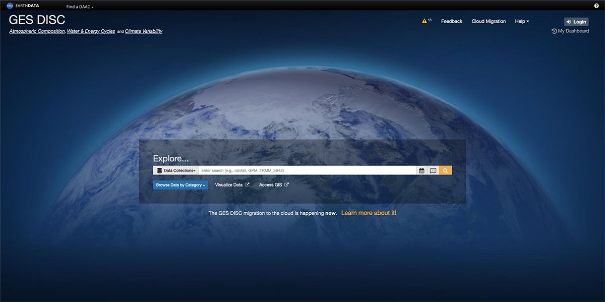
Goddard Earth Science Data and Information Science Center (GES DISC)
We are one of eight NASA Science Mission Directorate (SMD) DAACs that offer Earth science data, information, and services to research scientists, applications scientists, applications users, and students. The GES DISC is the home (archive) of Precipitation, Atmospheric Chemistry and Dynamics, and information, as well as data and information from other related disciplines. The GES DISC is located at Goddard Space Flight Center, in Greenbelt, Maryland.
Land Data Operational Products Evaluation (LDOPE)
The Land Data Operational Products Evaluation (LDOPE) ensures generation of quality products at MODAPS through routine quality assessment of operational products, coordination of algorithm changes to address known quality issues in the product and improve product/algorithm performance, and dissemination of product quality information to public.
Land, Atmosphere Near real-time Capability for EOS (LANCE)
NASA's Land, Atmosphere Near real-time Capability for EOS (LANCE) provides access to near real-time (NRT) data and imagery generated from processing select instrument data (e.g. MODIS, VIIRS, OMI, OMPS, AIRS, MLS, etc,) meeting the timely needs of users interested in monitoring a wide variety of natural and man-made phenomena.
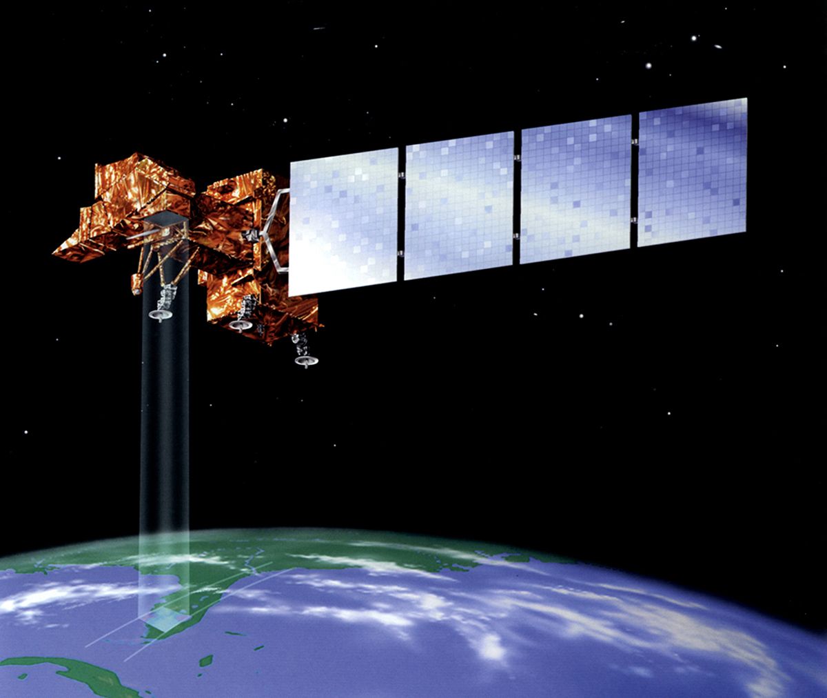
Landsat 7
Landsat 7 is a U.S. satellite used to acquire remotely sensed images of the Earth's land surface and surrounding coastal regions. This site features Landsat 7 data characteristics, science and education applications, technical documentation, program policy, and history. It is maintained by the Landsat 7 Project Science Office at the NASA's Goddard Space Flight Center in Greenbelt, MD. Images acquired by Landsat satellites were used to produce the first composite multi-spectral mosaic of the 48 contiguous United States. Landsat imagery has provided critically important information for monitoring agricultural productivity, water resources, urban growth, deforestation, and natural change due to fires and insect infestations. The data have also been used successfully for mineral exploration, to measure forest cover at the state level, and to monitor strip mining and strip mine reclamation.
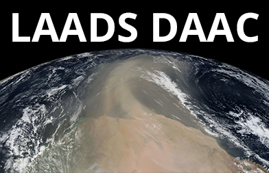
Level-1 Atmosphere Archive Distribution System Distributed Active Archive Center (LAADS DAAC)
The Level-1 Atmosphere Archive Distribution System (LAADS) Distributed Active Archive Center (DAAC) provides access to all levels of science data products from processing and reprocessing of the remote sense data products from NASA’s MODIS, NASA/NOAA’s VIIRS and NOAA’s AVHRR data and European Space Agency’s MERIS and Sentinel-3 L1 and L2 data collections.
Long Term Data Record (LTDR)
The Long Term Data Record (LTDR) project generates and distributes a validated global land surface climate data record (CDR) from processing of the Advance Very High Resolution Radiometer (AVHRR) onboard NOAA’s Polar Orbiting Environmental Satellites (POES) between 1981 – 2021, and the European Space Agency’s (ESA) MetOp platform from 2012 to present, using a combination of mature and tested algorithms. The project creates the daily surface reflectance product as the fundamental climate data record (FCDR), and daily Normalized Differential Vegetation Index (NDVI) and Leaf Area Index/Fractional Photosynthetic Active Radiation (LAI/FPAR) as two thematic CDRs (TCDRs).
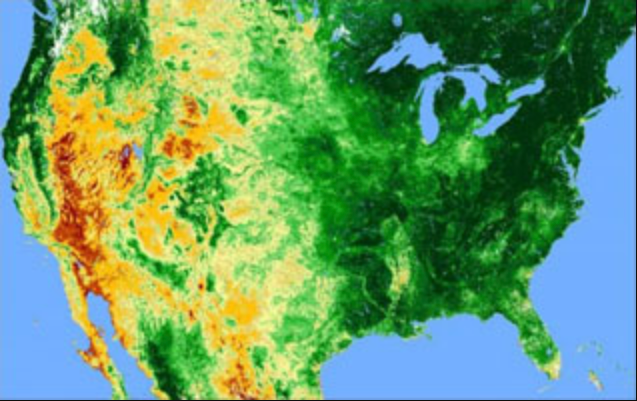
Moderate Resolution Imaging Spectroradiometer (MODIS)
MODIS (or Moderate Resolution Imaging Spectroradiometer) is a key instrument aboard the Terra (originally known as EOS AM-1) and Aqua (originally known as EOS PM-1) satellites. Terra's orbit around the Earth is timed so that it passes from north to south across the equator in the morning, while Aqua passes south to north over the equator in the afternoon. Terra MODIS and Aqua MODIS are viewing the entire Earth's surface every 1 to 2 days, acquiring data in 36 spectral bands, or groups of wavelengths (see MODIS Technical Specifications). These data will improve our understanding of global dynamics and processes occurring on the land, in the oceans, and in the lower atmosphere. MODIS is playing a vital role in the development of validated, global, interactive Earth system models able to predict global change accurately enough to assist policy makers in making sound decisions concerning the protection of our environment.
MODIS Adaptive Processing System (MODAPS)
The MODIS Adaptive Processing System (MODAPS) processes the MODIS and VIIRS instrument data and generates all levels of standard data products for use in climate change study and research applications, and near real time products for use in near real time applications such as numerical weather and climate prediction, forecasting and monitoring natural hazards, agriculture, air quality and disaster relief.
NASA Harvest
NASA Harvest is NASA’s Food Security and Agriculture Program, with a mission is to enable and advance adoption of satellite Earth observations by public and private organizations to benefit food security, agriculture, and human and environmental resiliency in the US and worldwide. This is accomplished through a multidisciplinary and multisectoral Consortium of leading scientists and agricultural stakeholders, led by researchers at the University of Maryland and implemented together with our partners across the globe.

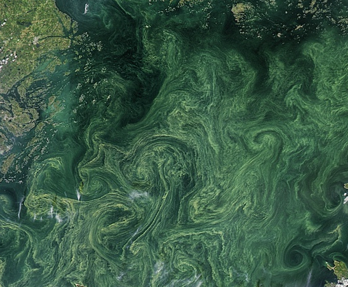
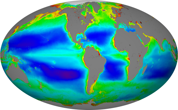
NASA Ocean Biology Distributed Active Archive Center (OB.DAAC)
NASA's OB.DAAC archives and distributes ocean-color and sea-surface-temperature products from a host of domestic and international missions.
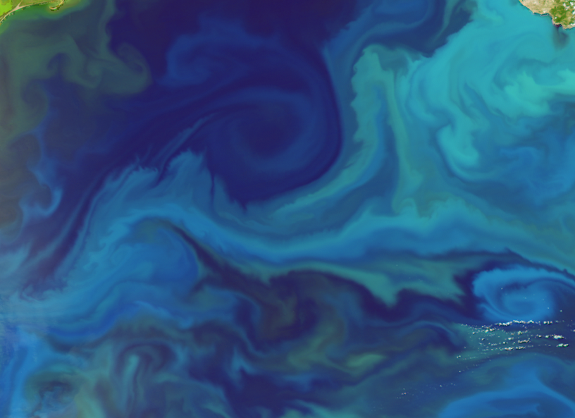
NASA's Ocean Biology Processing Group (OBPG)
NASA's Ocean Biology Processing Group (OBPG) supports the collection, processing, calibration and validation of ocean-related products from a number of NASA, NOAA, and international missions.
Ocean Ecology Field Support
The Ocean Ecology Laboratory (OEL) maintains an on-site Field Laboratory for biological, biogeochemical, and interdisciplinary ocean research.
Ozone Monitoring Instrument Data Processing System (OMIDAPS)
The Ozone Monitoring Instrument (OMI) Data Processing System (OMIDAPS), processes the OMI and OMPS data into products archived and distributed by the Earth Sciences Data and Information Services Center (GES DISC). OMIDAPS’s ozone, sulfur dioxide (SO2), nitrogen dioxide (NO2), formaldehyde (HCHO), absorbing aerosols, and cloud pressure data products are used in climate change research and applications and near real time applications such as numerical weather and climate prediction, forecasting and monitoring natural hazards, air quality and disaster relief.
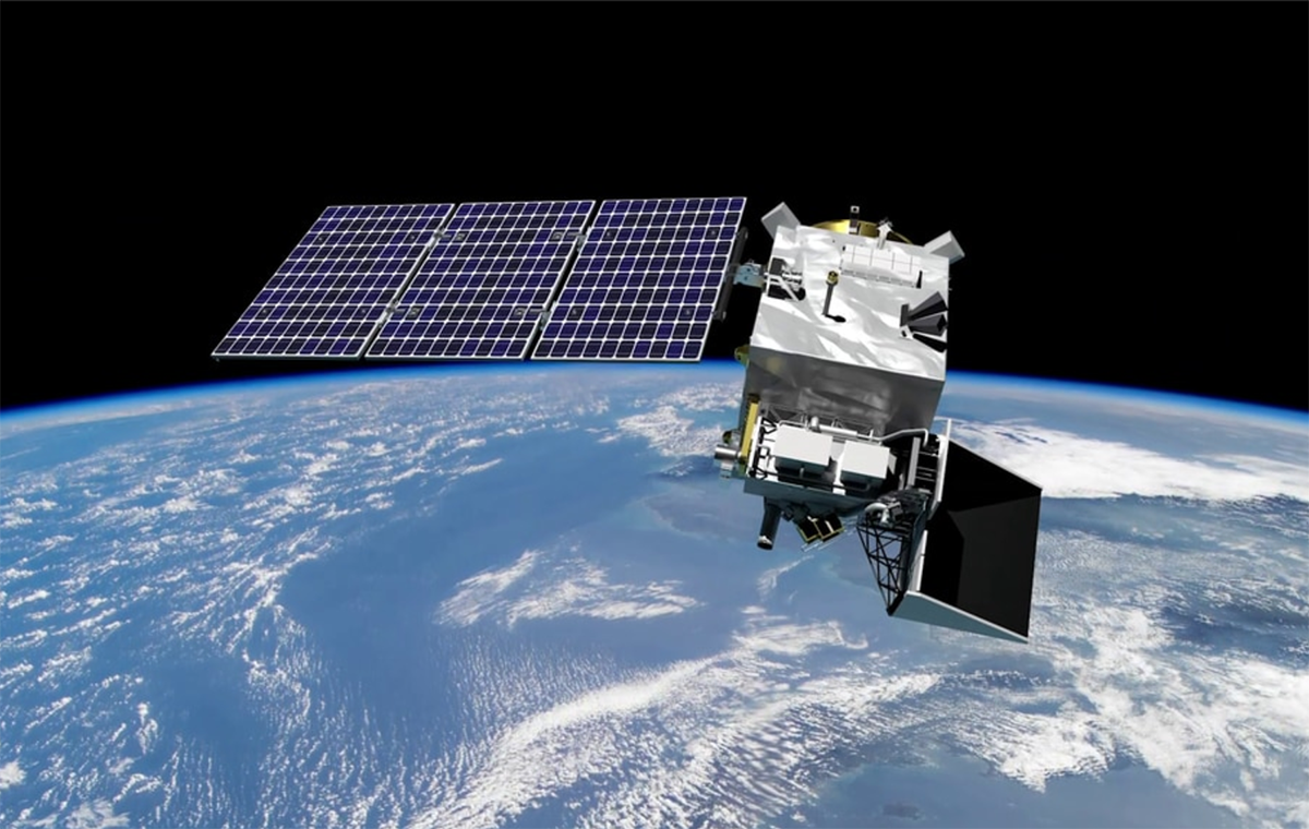
Plankton, Aerosol, Cloud, ocean Ecosystem (PACE)
PACE is NASA's Plankton, Aerosol, Cloud, ocean Ecosystem mission. It launched on February 8, 2024, extending and improving NASA's over 20-year record of satellite observations of global ocean biology, aerosols (tiny particles suspended in the atmosphere), and clouds.
Key Staff
- Polarimeter Lead: Kirk Knobelspiesse
- Science Data Segment Manager: Bryan Franz
- Applications Coordinator: Erin Urquhart
- Science Data Segment Deputy Manager: Sean Bailey
- Project Scientist: Jeremy Werdell (he/him)
- Deputy Project Scientist: Brian Cairns
- Deputy Project Scientist: Antonio Mannino
- Instrument Scientist: Gerhard Meister
- Senior Scientist: Susanne Craig