Geostationary Ocean Color Imager (GOCI)
Launch Date:
June 2010
WEBSITE:
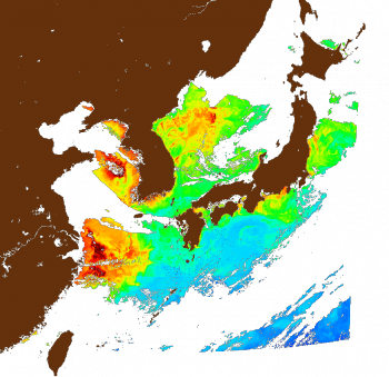
The Geostationary Ocean Color Imager (GOCI) is one of the three payloads onboard the Communication, Ocean and Meteorological Satellite (COMS). It acquires data in 8 spectral bands (6 visible, 2 NIR) with a spatial resolution of about 500 m over the Korean sea. The ocean data products that can be derived from the measurements are mainly the chlorophyll concentration, the optical diffuse attenuation coefficients, the concentration of dissolved organic material or yellow substance, and the concentration of suspended particles in the near-surface zone of the sea. In operational oceanography, satellite derived data products are used in conjunction with numerical models and in situ measurements to provide forecasting and now casting of the ocean state. Such information is of genuine interest for many categories of users.