Global Land Data Assimilation System (GLDAS)
WEBSITE:
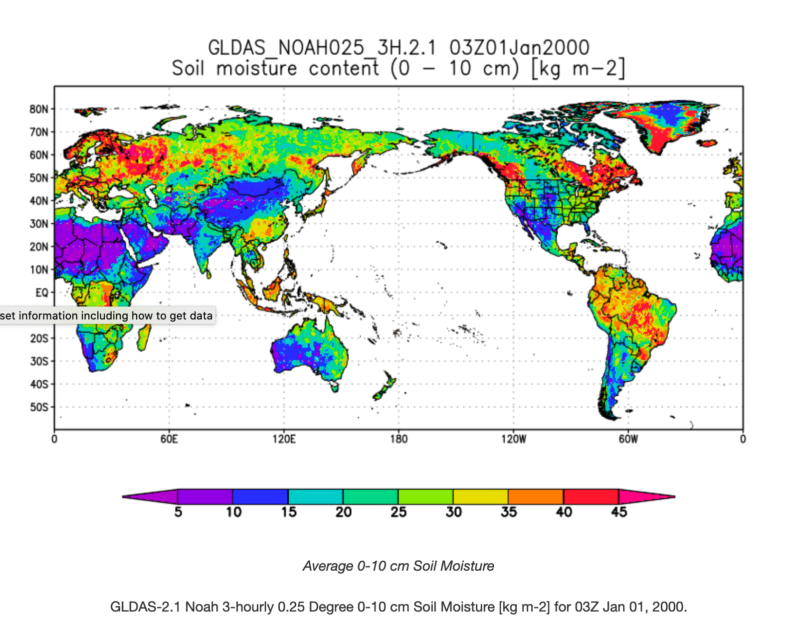
The goal of the Global Land Data Assimilation System (GLDAS) is to ingest satellite- and ground-based observational data products, using advanced land surface modeling and data assimilation techniques, in order to generate optimal fields of land surface states and fluxes (Rodell et al., 2004a).
Key Staff
- Principal Investigator: Matthew Rodell