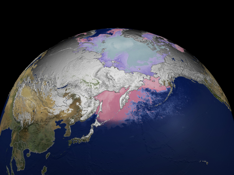
Moderate Resolution Imaging Spectroradiometer Snow/Ice (MODIS S/I)
The Moderate Resolution Imaging Spectroradiometer (MODIS) is a 36-channel visible to thermal-infrared sensor that was first launched as part of the Earth Observing System (EOS) Terra payload on 18 December 1999. A second MODIS was launched as part of the payload on the Aqua satellite on May 4, 2002. A variety of snow and ice products is produced from the MODIS sensors, and the products are available at a variety of spatial and temporal resolutions. The MODIS snow product suite begins with a 500-m resolution, 2330-km swath snow-cover map which is then gridded to a sinusoidal grid. The sequence proceeds to climate-modeling grid (CMG) products on a latitude/longitude (cylindrical equidistant projection). Most of the products are archived at the National Snow and Ice Data Center (NSIDC) in Boulder, CO.

